One page for a trip: places, events, and how far each one is from where you stay.
A small open-source template. An AI agent sets it up in your own GitHub and hosting, fills it from your Google Maps lists, and keeps updating it as you talk the trip through.
Demo data is fictional. MIT licence.
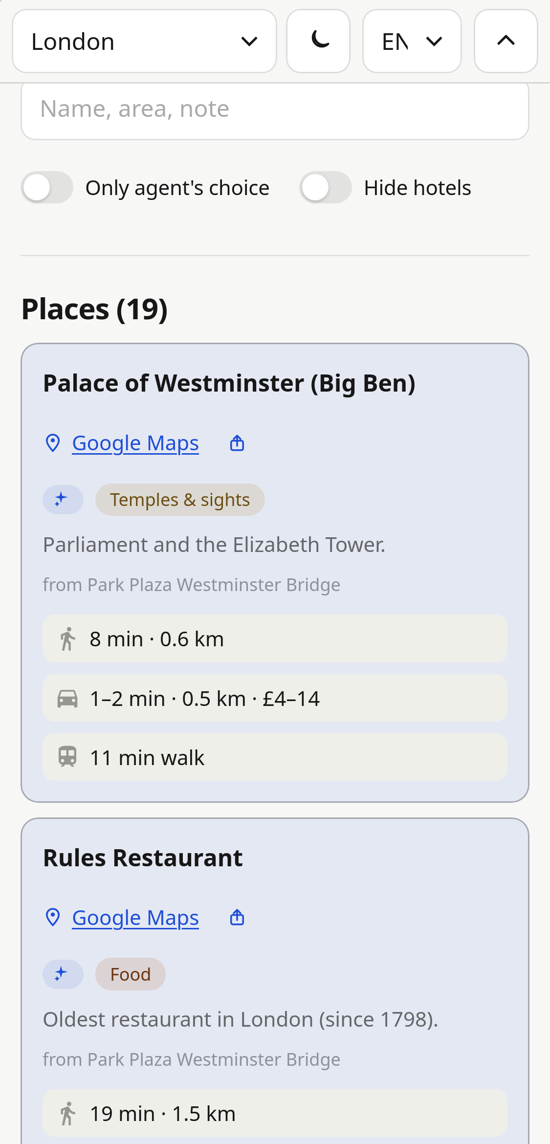
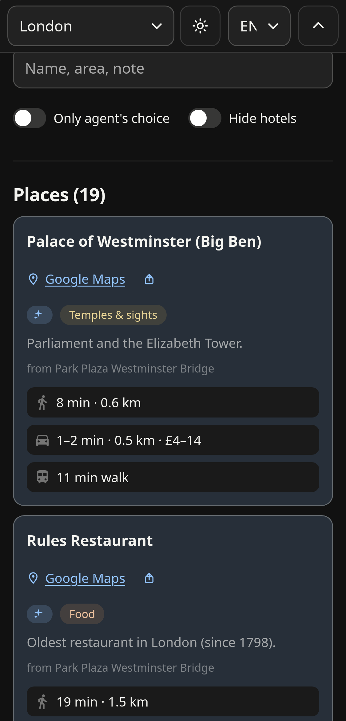
What is on the page
Places
Grouped by category: food, cafes, sights, parks, markets and more. Each has a Google Maps link and your own note.
Travel times
Walking, taxi and public transport estimates from your starting point, so the list sorts by what is actually near.
Events
Concerts, bookings and anything with a date and time, listed alongside the places.
Built for a phone
Light and dark theme, English and Russian, search and filters. Can be limited to people you list by email.
Starting points are whatever you need
Distances are measured from a starting point. It does not have to be a hotel: a friend's flat, an Airbnb, a conference venue, or a station where you have a few hours between trains. A trip can have several, and the page switches between them.
Where it sits next to the tools you already use
It does not replace Google Maps or the agent. Google Maps stays the source of places; the agent does the research and the edits. The page is where the result ends up.
| Saved list in Google Maps | Research in an agent chat | This page | |
|---|---|---|---|
| Where decisions live | Pins and short notes | Spread across long chat threads | One current version of the plan |
| Distance from where you stay | One route at a time | Only if you ask, per answer | Pre-computed for every place, from each starting point |
| Structure | Flat list | Free text | Categories, events, filters, search |
| Coming back a week later | Still there, no context | Find the right chat and scroll | Open the link; a new agent chat picks up from saved state |
| Showing it to someone | Share the list | Screenshots or copied text | Send a link, optionally email-gated |
How it is run
Give an AI agent (Claude Code, Codex and similar) the repository link. It copies the template to your GitHub, deploys it to Cloudflare, Vercel, Netlify or Railway, and asks you to sign in where needed.
Send a shared Google Maps list link (group lists work too) or single places. Notes from the list are kept as written. Places are split by city and sorted into categories.
Discuss changes with the same agent in plain words. It edits the data, recalculates distances and republishes. The setup is recorded in the repo, so a later chat can continue.
"We're staying at a friend's flat now, measure from there." "We have five hours at Oriente station on the way back. Add it as a second starting point." "Drop the museums. Add two breakfast places near the station." "Sync my Google Maps list again."
Limits
- Not a shared editor. One person changes it through their agent; others view.
- Edits go through a commit and a rebuild, so they appear after a minute or two.
- No navigation or offline maps. Each place opens in Google Maps.
- Needs a GitHub account, a hosting account and access to an AI agent.
Cost
- The template is free and open source (MIT).
- Private GitHub repositories are free.
- Free hosting tiers are enough for a personal trip site.
- Cloudflare Access email login is free for a small group.
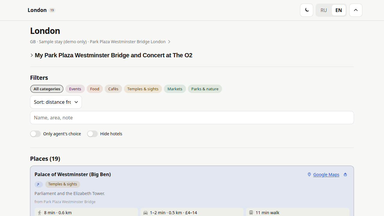
Desktop view of the London demo.